Welcome to Aerobotic Services, where we elevate the art of aerial mapping with cutting-edge drone technology. Our services extend beyond the horizon, providing comprehensive solutions for creating precise 2D Orthomosaics and immersive 3D models that redefine the way you perceive and analyze landscapes or structures.
Our Aerial Mapping Services:
- 2D Orthomosaics: Transforming Imagery into Insight
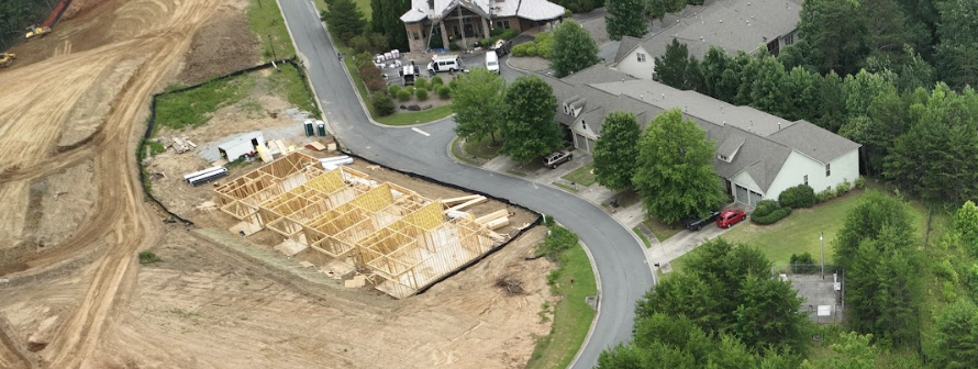
Harness the power of our advanced drone technology to create highly accurate 2D Orthomosaics. These high-resolution, georeferenced images stitch together seamlessly, providing a detailed and up-to-date representation of your terrain. Whether you’re in agriculture, land development, or environmental monitoring, our 2D Orthomosaics offer unparalleled insights for informed decision-making.
- 3D Models: A New Dimension of Analysis
Step into the realm of three-dimensional understanding with our immersive 3D models. Using state-of-the-art drone-captured imagery, we construct detailed 3D representations of your landscapes. This technology goes beyond static images, allowing you to explore and analyze the terrain from every angle. Ideal for urban planning, construction, and environmental assessments, our 3D models bring a new dimension to your decision-making process.
The Technology Behind Our Offerings:
At Aerobotic Services, we employ the latest drone technology to ensure precision, efficiency, and unmatched quality in our mapping services.
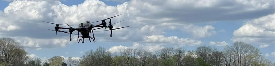
- Drone Imaging Sensors: Our drones are equipped with advanced imaging sensors that capture high-resolution aerial photographs. These sensors allow us to gather detailed visual data, forming the foundation for our mapping solutions.
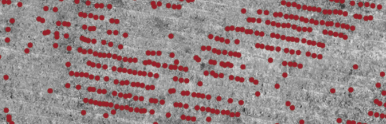
- High Precision GPS Technology: Georeferencing is key to accurate mapping. Our drones utilize GPS technology to pinpoint their location during data capture, ensuring that every image and data point is accurately placed on the map.
- Data Processing and Photogrammetry: The magic happens in the data processing stage. Using sophisticated photogrammetry techniques, we turn raw imagery into precise, georeferenced maps and 3D models. Our expert team employs industry-leading software to deliver the highest quality results.
Applications of Aerial Mapping:
- Precision Agriculture: Optimize crop management with detailed 2D maps and 3D models that reveal variations in soil health, crop density, and growth patterns.
- Construction Planning: Streamline construction projects with accurate topographic information, enabling better site planning, design, and logistics.
- Environmental Monitoring: Monitor changes in landscapes and ecosystems over time, aiding in conservation efforts and environmental impact assessments.
Why Choose Aerobotic Services for Aerial Mapping:
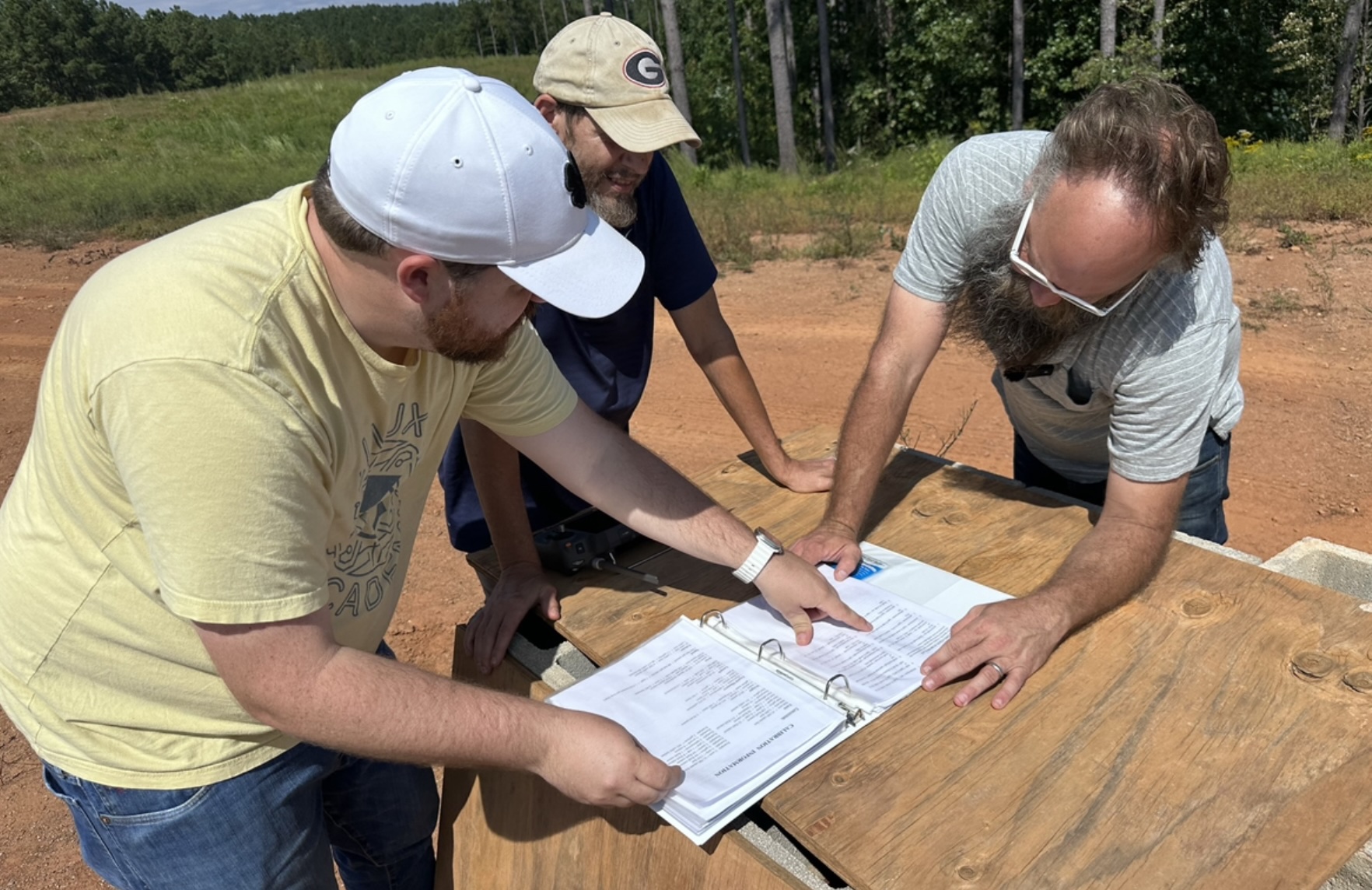
- Expertise: Benefit from the expertise of our experienced team, skilled in leveraging drone technology for precise and insightful aerial mapping.
- Cutting-Edge Technology: Stay ahead with our state-of-the-art drone technology, ensuring the highest quality results for your mapping needs.
- Custom Solutions: Our mapping services are tailored to meet the unique requirements of your industry and project, providing customized solutions for optimal results.
Elevate Your Perspective Today:
Discover a new level of precision and analysis with Aerobotic Services’ aerial mapping solutions. Contact us today to discuss how our 2D Orthomosaics and 3D models can transform your understanding of the landscapes you work with.